
Himalayan Monal
Lophophorus impejanus
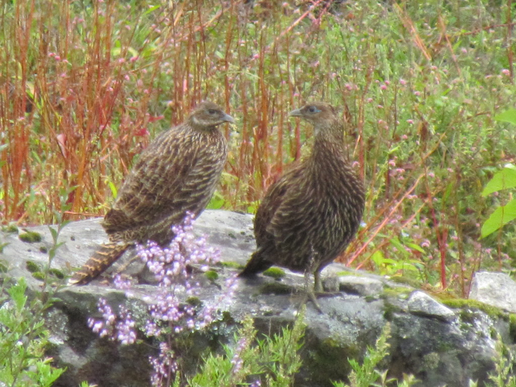
The Himalayan monal (Lophophorus impejanus), also called Impeyan monal, is a landfowl native to Himalayan forests and shrublands at elevations of 2,100–4,500 m (6,900–14,800 ft).
- Kingdom
- Animalia
- Phylum
- Chordata
- Class
- Aves
- Order
- Galliformes
- Family
- Phasianidae
- Genus
- Lophophorus
- Species
- Lophophorus impejanus
Description
The Himalayan monal (Lophophorus impejanus), also called Impeyan monal, is a landfowl native to Himalayan forests and shrublands at elevations of 2,100–4,500 m (6,900–14,800 ft). It is part of the family Phasianidae and is listed as Least Concern on the IUCN Red List. It is the national bird of Nepal, where it is known as the danphe or danfe, and state bird of Uttarakhand, India, where it is known as a monal. The scientific name commemorates Lady Mary Impey, the wife of the British chief justice of Bengal, Sir Elijah Impey.
Gallery
Ajouter des photos
Partagez vos photos de cette espèce (jusqu'à 20 à la fois) : elles sont vérifiées automatiquement, puis publiées.
Répartition
Occurrences observées (données GBIF). Les zones hors aire d'origine peuvent indiquer une présence introduite ou invasive.
Sources et crédits
Informations provenant de plusieurs sources vérifiées. Dernière mise à jour : .
Crédits photos (8)
- Photo : Tim Guida (@timbir5) · CC BY-NC 4.0 · via iNaturalist
- Photo : Jagdish Singh Negi (@negi) · CC BY 4.0 · via iNaturalist
- Photo : Amaël Borzée (@amarzee) · CC BY-NC 4.0 · via iNaturalist
- Photo : Jagdish Singh Negi (@negi) · CC BY 4.0 · via iNaturalist
- Photo : Rozan Dhungel (@rozandhungel) · CC BY-NC 4.0 · via iNaturalist
- Photo : Sourav Halder (@souravnaturalist) · CC BY-NC 4.0 · via iNaturalist
- Photo : @shivaprakash · CC BY-NC 4.0 · via iNaturalist
- Photo : Andrey Bragin (@andreybragin) · CC BY-NC 4.0 · via iNaturalist
Mentions de licence
Texte disponible sous licence CC BY-SA 4.0. Il adapte notamment Wikipedia (CC BY-SA) : Himalayan monal (Wikipédia, auteurs dans l’historique de l’article).
- Taxonomie : GBIF Backbone Taxonomy (CC BY 4.0)
- Carte : occurrences GBIF, fond © contributeurs OpenStreetMap (ODbL)
- Statut de conservation : Liste rouge de l'UICN, via Wikidata (CC0)
Détail : Sources et licences.
Discussion (0)
Aucun message pour l’instant. Lancez la discussion sur cette fiche (sources, précisions, débats éditoriaux).
Connectez-vous pour participer à la discussion.