
Nepal Gray Langur
Semnopithecus schistaceus
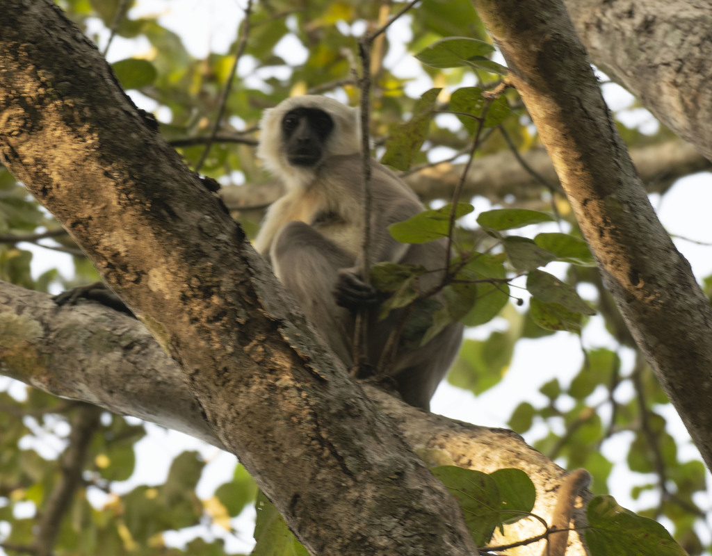
The Nepal gray langur (Semnopithecus schistaceus) is a gray langur endemic to the Himalayas in Nepal, far southwestern Tibet, northern India, northern Pakistan, Bhutan and possibly Afghanistan.
- Kingdom
- Animalia
- Phylum
- Chordata
- Class
- Mammalia
- Order
- Primates
- Family
- Cercopithecidae
- Genus
- Semnopithecus
- Species
- Semnopithecus schistaceus
Description
The Nepal gray langur (Semnopithecus schistaceus) is a gray langur endemic to the Himalayas in Nepal, far southwestern Tibet, northern India, northern Pakistan, Bhutan and possibly Afghanistan. It is found in forests at an elevation of 1,500 to 4,000 metres (4,900 to 13,100 ft). Its easternmost limit in India is Buxa Tiger Reserve in northern West Bengal, at least up to the Rydak river. The Nepal gray langur is both terrestrial and arboreal and eats leaves. At 26.5 kilograms (58 lb), the heaviest langur ever recorded was a male Nepal gray langur.
Gallery
Ajouter des photos
Partagez vos photos de cette espèce (jusqu'à 20 à la fois) : elles sont vérifiées automatiquement, puis publiées.
Répartition
Occurrences observées (données GBIF). Les zones hors aire d'origine peuvent indiquer une présence introduite ou invasive.
Sources et crédits
Informations provenant de plusieurs sources vérifiées. Dernière mise à jour : .
Crédits photos (8)
- Photo : @nishanw · CC BY-NC 4.0 · via iNaturalist
- Photo : Ashwin Viswanathan (@ashwinv) · CC BY 4.0 · via iNaturalist
- Photo : Akash Verma (@akashverma) · CC BY-NC 4.0 · via iNaturalist
- Photo : Matt Saunders (@simiiformes) · CC BY-NC 4.0 · via iNaturalist
- Photo : Jonathan Hakim (@jonhakim) · CC BY-NC 4.0 · via iNaturalist
- Photo : @pgkaestner · CC BY-NC 4.0 · via iNaturalist
- Photo : @connk · CC BY-NC 4.0 · via iNaturalist
- Photo : @eugenio_101 · CC BY-NC 4.0 · via iNaturalist
Mentions de licence
Texte disponible sous licence CC BY-SA 4.0. Il adapte notamment Semnopithecus schistaceus, Wikipedia (CC BY-SA) : Nepal gray langur (Wikipédia, auteurs dans l’historique de l’article).
- Taxonomie : GBIF Backbone Taxonomy (CC BY 4.0)
- Carte : occurrences GBIF, fond © contributeurs OpenStreetMap (ODbL)
- Statut de conservation : Liste rouge de l'UICN, via Wikidata (CC0)
Détail : Sources et licences.
Discussion (0)
Aucun message pour l’instant. Lancez la discussion sur cette fiche (sources, précisions, débats éditoriaux).
Connectez-vous pour participer à la discussion.