
Incan Caenolestid
Lestoros inca
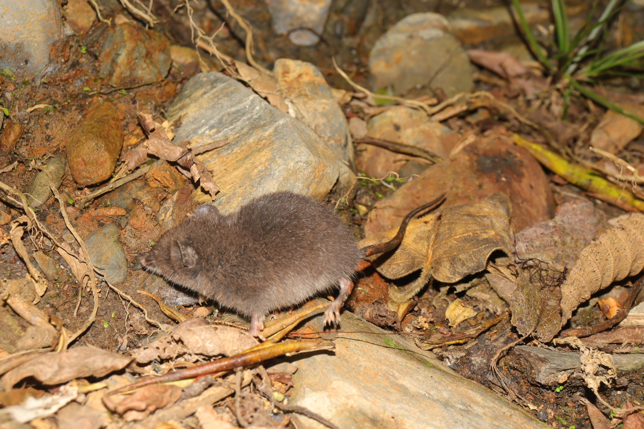
The Incan caenolestid (Lestoros inca), also known as the Incan shrew opossum or Peruvian caenolestid, is a caenolestid found in the southern Peruvian Andes.
- Kingdom
- Animalia
- Phylum
- Chordata
- Class
- Mammalia
- Order
- Paucituberculata
- Family
- Caenolestidae
- Genus
- Lestoros
- Species
- Lestoros inca
Description
The Incan caenolestid (Lestoros inca), also known as the Incan shrew opossum or Peruvian caenolestid, is a caenolestid found in the southern Peruvian Andes. It was first described by English zoologist Oldfield Thomas in 1917. The head-and-body length ranges from 9 to 11.5 centimetres (3.5 to 4.5 in), and the weight is between 25 and 32 grams (0.88 and 1.13 oz). It is brown on the back, and lighter on the underside. Little is known about the behaviour of the Incan caenolestid; it appears to be terrestrial and nocturnal. It feeds on small invertebrates and insects. This caenolestid inhabits elfin and secondary forests. The IUCN classifies it as least concern.
Gallery
Ajouter des photos
Partagez vos photos de cette espèce (jusqu'à 20 à la fois) : elles sont vérifiées automatiquement, puis publiées.
Répartition
Occurrences observées (données GBIF). Les zones hors aire d'origine peuvent indiquer une présence introduite ou invasive.
Sources et crédits
Informations provenant de plusieurs sources vérifiées. Dernière mise à jour : .
Crédits photos (2)
- Photo : waldircr03 · CC BY-NC 4.0 · via GBIF
- Photo : @waldircr03 · CC BY-NC 4.0 · via iNaturalist
Mentions de licence
Texte disponible sous licence CC BY-SA 4.0. Il adapte notamment Wikipedia (CC BY-SA) : Incan caenolestid (Wikipédia, auteurs dans l’historique de l’article).
- Taxonomie : GBIF Backbone Taxonomy (CC BY 4.0)
- Carte : occurrences GBIF, fond © contributeurs OpenStreetMap (ODbL)
- Statut de conservation : Liste rouge de l'UICN, via Wikidata (CC0)
Détail : Sources et licences.
Discussion (0)
Aucun message pour l’instant. Lancez la discussion sur cette fiche (sources, précisions, débats éditoriaux).
Connectez-vous pour participer à la discussion.