
Red Rock Lobster
Jasus edwardsii
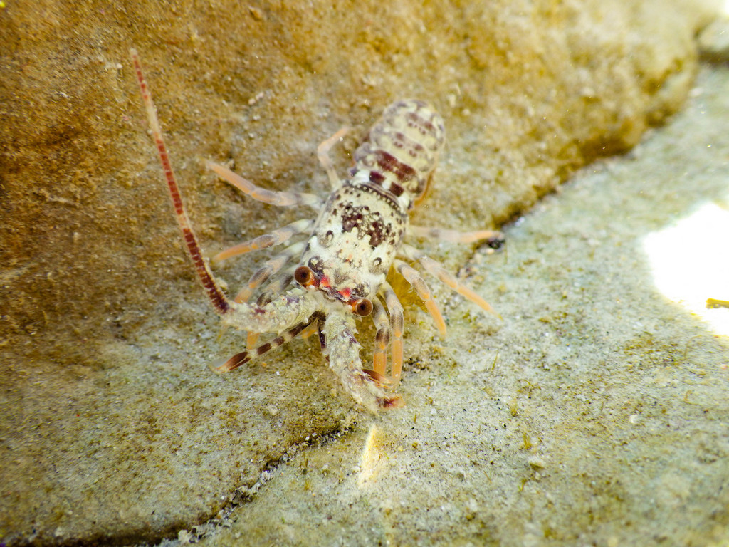
Jasus edwardsii, the southern rock lobster, red rock lobster, or spiny rock lobster, is a species of spiny lobster found throughout coastal waters of southern Australia and New Zealand including the Chatham Islands.
- Kingdom
- Animalia
- Phylum
- Arthropoda
- Class
- Malacostraca
- Order
- Decapoda
- Family
- Palinuridae
- Genus
- Jasus
- Species
- Jasus edwardsii
Description
Jasus edwardsii, the southern rock lobster, red rock lobster, or spiny rock lobster, is a species of spiny lobster found throughout coastal waters of southern Australia and New Zealand including the Chatham Islands. It is commonly called crayfish in Australia and New Zealand and kōura in Māori. They resemble lobsters, but lack the large characteristic pincers on the first pair of walking legs. Spiny rock lobsters are carnivorous, leaving their rock cover to venture out to feed during the night. They live in and around reefs at depths ranging from 5–200 metres (16–660 ft) deep at the continental shelf. They can be dark red and orange above with paler yellowish abdomens or grey-green brown with the paler underside. The more tropical animals tend to have the brighter colours. Adult carapaces can grow up to 230 millimetres (9.1 in) in length and can often exceed 8 kilograms (18 lb) in underfished areas.
Ajouter des photos
Partagez vos photos de cette espèce (jusqu'à 20 à la fois) : elles sont vérifiées automatiquement, puis publiées.
Répartition
Occurrences observées (données GBIF). Les zones hors aire d'origine peuvent indiquer une présence introduite ou invasive.
Sources et crédits
Informations provenant de plusieurs sources vérifiées. Dernière mise à jour : .
Crédits photos (1)
- Photo : M Rutherford (@lobotaniser) · CC BY 4.0 · via iNaturalist
Mentions de licence
Texte disponible sous licence CC BY-SA 4.0. Il adapte notamment Wikipedia (CC BY-SA) : Jasus edwardsii (Wikipédia, auteurs dans l’historique de l’article).
- Taxonomie : GBIF Backbone Taxonomy (CC BY 4.0)
- Carte : occurrences GBIF, fond © contributeurs OpenStreetMap (ODbL)
- Statut de conservation : Liste rouge de l'UICN, via Wikidata (CC0)
Détail : Sources et licences.
Discussion (0)
Aucun message pour l’instant. Lancez la discussion sur cette fiche (sources, précisions, débats éditoriaux).
Connectez-vous pour participer à la discussion.