
Caridina typus
Caridina typus
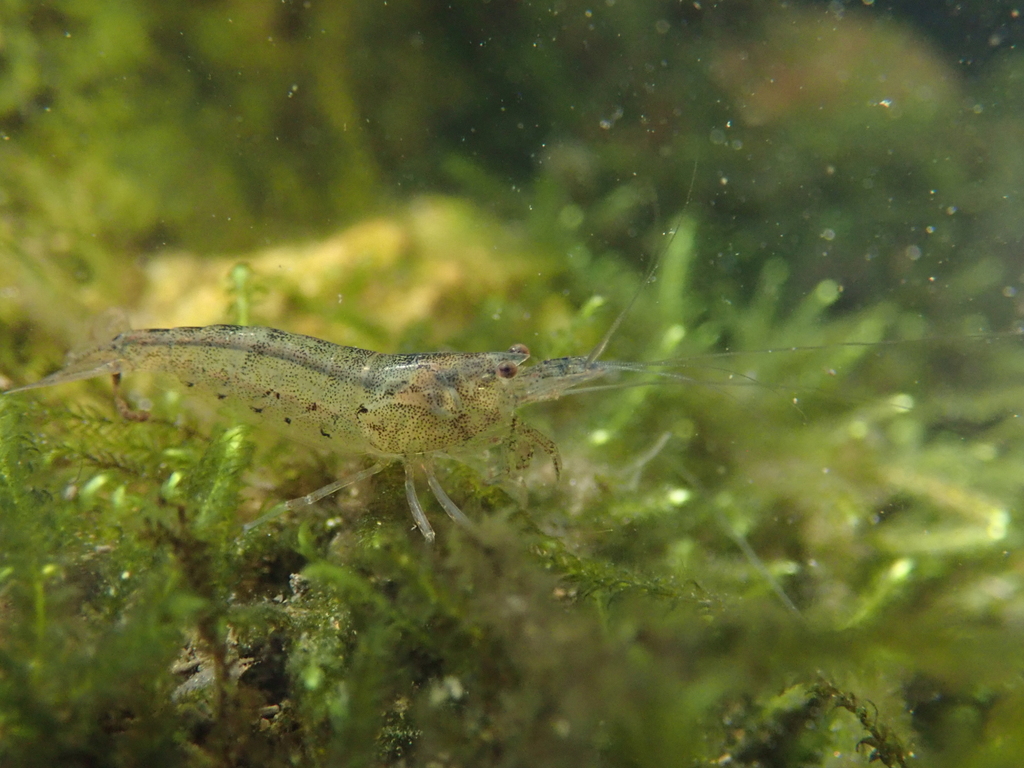
Caridina typus, also known as the Australian Amano shrimp, is a species of amphidromous atyid shrimp.
- Kingdom
- Animalia
- Phylum
- Arthropoda
- Class
- Malacostraca
- Order
- Decapoda
- Family
- Atyidae
- Genus
- Caridina
- Species
- Caridina typus
Description
Caridina typus, also known as the Australian Amano shrimp, is a species of amphidromous atyid shrimp. It was first described by H. Milne-Edwards in 1837. It has a broad distribution in tropical freshwater habitats in the Indo-West Pacific region, with its western range extending to eastern Africa and its eastern range extending to Polynesia. It is commonly found in rivers and streams in coastal areas or on islands. C. typus is known to play a role in sediment distribution and shredding leaf litter, manipulating the environment using their pereiopods and setaceous chelae. The species is also an important component of the food web, both as scavengers and as prey items, and is considered a keystone species for the stream ecosystems it inhabits. According to Choy and Marshall, the species can be characterized by a "short, dorsally unarmed rostrum, the presence of epipods on the first four pairs of pereiopods, and the presence of an appendix interna on the endopod of the first pleopod of both sexes." It can be kept in captivity by aquarists as pets.
Ajouter des photos
Partagez vos photos de cette espèce (jusqu'à 20 à la fois) : elles sont vérifiées automatiquement, puis publiées.
Répartition
Occurrences observées (données GBIF). Les zones hors aire d'origine peuvent indiquer une présence introduite ou invasive.
Sources et crédits
Informations provenant de plusieurs sources vérifiées. Dernière mise à jour : .
Crédits photos (1)
- Photo : H.T.Cheng (@oryzias) · CC BY-NC 4.0 · via iNaturalist
Mentions de licence
Texte disponible sous licence CC BY-SA 4.0. Il adapte notamment Wikipedia (CC BY-SA) : Caridina typus (Wikipédia, auteurs dans l’historique de l’article).
- Taxonomie : GBIF Backbone Taxonomy (CC BY 4.0)
- Carte : occurrences GBIF, fond © contributeurs OpenStreetMap (ODbL)
- Statut de conservation : Liste rouge de l'UICN, via Wikidata (CC0)
Détail : Sources et licences.
Discussion (0)
Aucun message pour l’instant. Lancez la discussion sur cette fiche (sources, précisions, débats éditoriaux).
Connectez-vous pour participer à la discussion.